GROUND SCAN
The UK’s leading Utility Mapping Survey company offering PAS 128 Utility Mapping Surveys, Bore Hole Clearances, and Desktop Utility Record Searches throughout the UK.

UTILITY DETECTION AND ASSET MAPPING THROUGHOUT THE UK
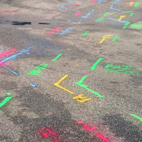
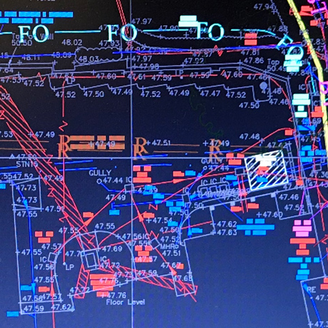
We understand that knowing the identification, accurate location and depths of existing buried utilities is of paramount importance to those engaged in feasibility projects, design, construction and maintenance of buries assets. As an experienced specialist we remove the uncertainty associated with reliance on old, incomplete, unclear or unavailable record information.
A premier service provider across the UK within the highly specialised utility detection, asset mapping, site investigation and survey industry, Groundscan LTD with 20 years experience employ the combination of fully trained industry experienced surveyors, latest ground penetrating radar equipment and proven techniques to detect and map underground services to a high degree of accuracy across a wide range of environments